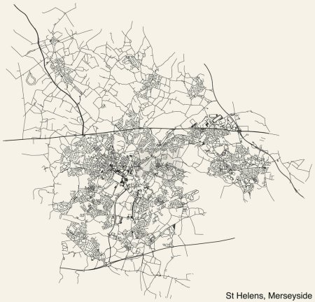
Carte détaillée des routes urbaines de navigat ... 

Media-ID: B:699955250
Nutzungsrecht:
Kommerzielle und redaktionelle Nutzung
Carte détaillée des routes urbaines de navigation dessinée à la main de la METROPOLITAN BOROUGH OF ST HELENS of the English administrative local authority districts map of Merseyside, England avec des lignes de route vives et une étiquette de nom sur fond solide
| Vorschau |
Varianten
Mediainfos
|
Dieses Bild mit unserem Kundenkonto ab 0,95 € herunterladen!
|
||||
| Standardlizenz: EPS | ||||
| Format | Bildgröße | Downloads | ||
| Vektorgrafik | eps | 1 | ||
| Standardlizenz: JPG | ||||
| Format | Bildgröße | Netto | Brutto | Preis |
|
Web S 0,5 MP |
500x480 Pixel 16,93x16,26 cm (75 dpi) |
3,90 € | 4,17 € | |
|
Print M 2 MP |
1000x961 Pixel 8,47x8,14 cm (300 dpi) |
6,90 € | 7,38 € | |
|
Print XL 8 MP |
2000x1922 Pixel 16,93x16,27 cm (300 dpi) |
12,90 € | 13,80 € | |
|
Print XXL 15 MP |
5100x4900 Pixel 43,18x41,49 cm (300 dpi) |
15,90 € | 17,01 € | |
| Standardlizenz: EPS | ||||
| Format | Bildgröße | Netto | Brutto | Preis |
| Vektorgrafik | eps | 9,90 € | 10,59 € | |
| Merchandisinglizenz: EPS | ||||
| Format | Bildgröße | Netto | Brutto | Preis |
| Vektorgrafik | eps | 79,90 € | 85,49 € | |
| Media-ID: | B:699955250 |
| Aufrufe: | 1 |
| Beschreibung: | Carte détaillée des routes urbaines de navigation dessinée à la main de la METROPOLITAN BOROUGH OF ST HELENS of the English administrative local authority districts map of Merseyside, England avec des lignes de route vives et une étiquette de nom sur fond solide |
Nutzungslizenz
| Nutzungsrecht: | Kommerzielle und redaktionelle Nutzung |
Userinfos
| Hinzugefügt von: | momcilo.jovanov |
| Weitere Medien von momcilo.jovanov |
Bewertung
| Bewertung: |
|
Suchbegriffe
| Keywords: |


